Contact the Geospatial Centre
Dana Porter Library, Room 328
University of Waterloo Library
Waterloo, Ontario N2L 3G1
Email: librarygeo@uwaterloo.ca
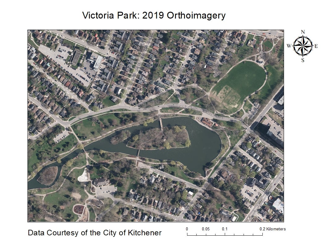
This data resource is a colour compressed orthomosaic, stored in MrSID image format and covering part of the City of Kitchener. Aerial photography was flown in the spring, 2019, then scanned to digital format. Pixel resolution is 10 cm. The full colour orthomosaic was provided to the Geospatial Centre by the City of Kitchener in July 2020.