Contact the Geospatial Centre
Dana Porter Library, Room 328
University of Waterloo Library
Waterloo, Ontario N2L 3G1
Email: librarygeo@uwaterloo.ca
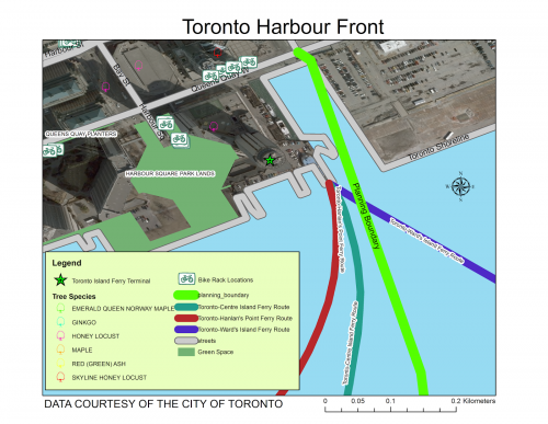
The City of Toronto open data site is continually updating and adding new data files. Creation dates for this rich open data ranges from 2009 to current. Data is available in various formats, including ESRI shapfile, Extendable Markup Language (XML), Excel, live feed and Comma Separated Values (CSV).
http://www1.toronto.ca/wps/portal/contentonly?vgnextoid=9e56e03bb8d1e310VgnVCM10000071d60f89RCRD