Contact the Geospatial Centre
Dana Porter Library, Room 328
University of Waterloo Library
Waterloo, Ontario N2L 3G1
Email: librarygeo@uwaterloo.ca
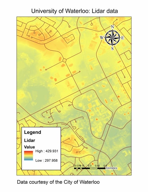
This data resource was received from the City of Waterloo in May, 2015. The 1 km x 1 km tiled data set was collected between November 2nd - 3rd, 2014 with an average flying height above ground of 1,200 metres (m) producing a horizontal accuracy of ~0.31 m root square mean error (rmse).