Contact the Geospatial Centre
Dana Porter Library, Room 328
University of Waterloo Library
Waterloo, Ontario N2L 3G1
Email: librarygeo@uwaterloo.ca
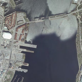
Received from Land Information Ontario, the complete DRAPE (Digital Raster Acquisition Project for the East) dataset (2008-2009) for Eastern Ontario. 20 km mosaics have 50 cm resolution and stored in MrSid file format. Average file size is 1GB.