Contact the Geospatial Centre
Dana Porter Library, Room 328
University of Waterloo Library
Waterloo, Ontario N2L 3G1
Email: librarygeo@uwaterloo.ca
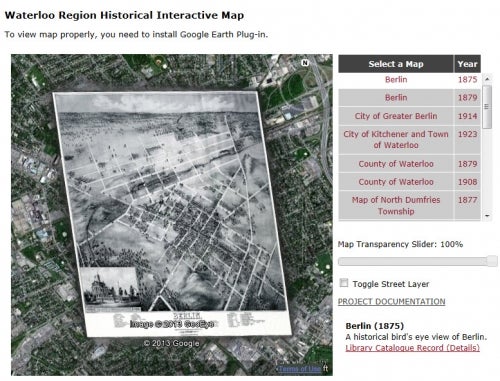
The Geospatial Centre has a large collection of historical maps that are continuing to grow in popularity with library clients. To make this collection more accessible, in the summer of 2012, the Geospatial Centre launched an archival map scanning and digitization pilot project, and made the maps available online; a project that was inspired by Brock University’s online historical map collection.