Contact the Geospatial Centre
Dana Porter Library, Room 328
University of Waterloo Library
Waterloo, Ontario N2L 3G1
Email: librarygeo@uwaterloo.ca
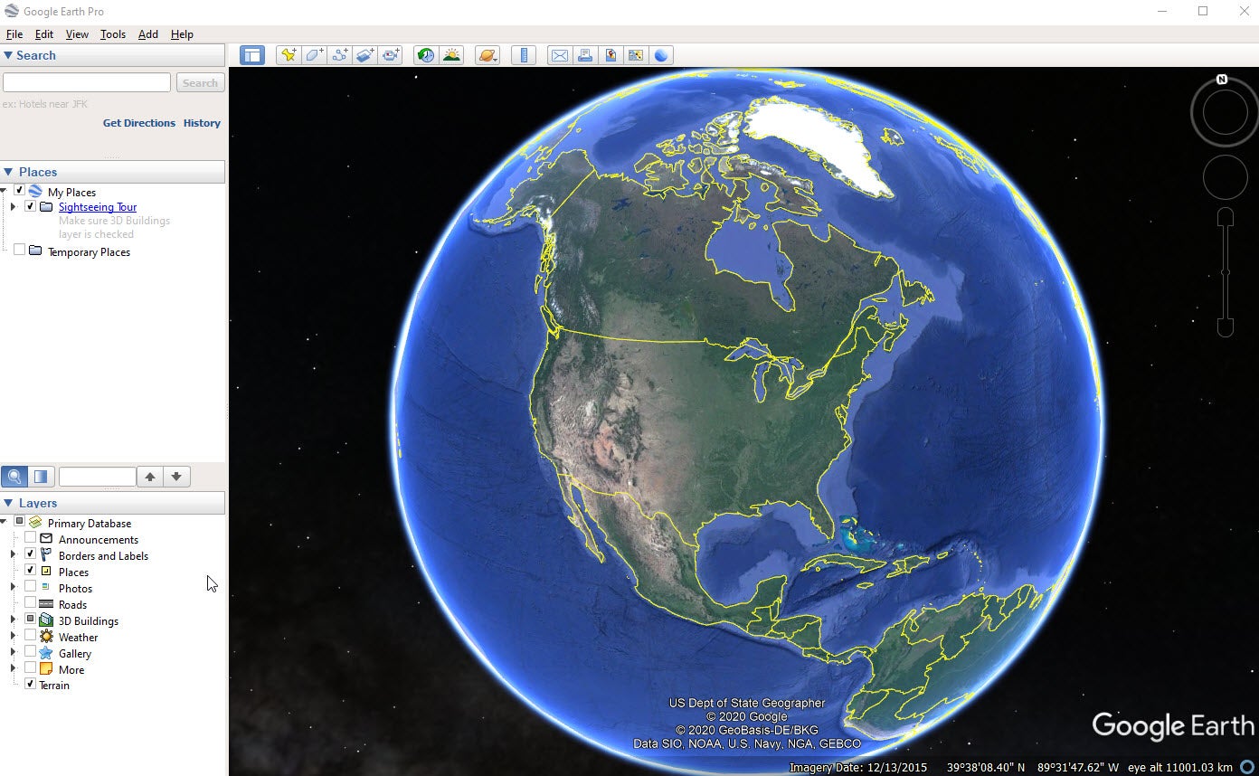
As of early 2015, Google Earth Pro, which used to be a $400 product, is now free. This is a simple yet powerful tool for viewing information geographically—whether it is for viewing climate information, analyzing change over time, or tracing routes from your vacation. In this tutorial, you will learn how to create placemarks (points of interest), analyze elevation changes over the landscape, import images and shapefiles, utilize the built in library (3D buildings, weather, photo gallery, etc.), view historical imagery, navigate to a city with the directions module, geocode addresses, and create a route.
Google Earth Pro (ZIP) : 2020 guide