Contact the Geospatial Centre
Dana Porter Library, Room 328
University of Waterloo Library
Waterloo, Ontario N2L 3G1
Email: librarygeo@uwaterloo.ca
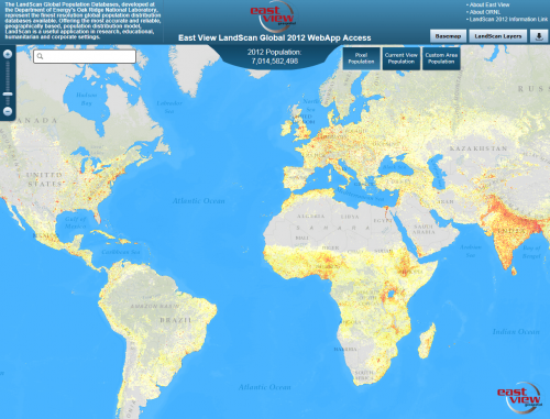
Received from the United States Department of Energy's Oak Ridge National Laboratory, the LandScan global population database features the highest-accuracy population data available on the market. The population data is broken down into three levels:
This dataset has a wide range of applications across numerous fields, including business, planning, health and humanitarianism, and more. Currently, available population data ranges from 2000 to 2012.
https://uwaterloo.ca/library/geospatial/collections/us-and-world-geospatial-data-resources/landscan