Contact the Geospatial Centre
Dana Porter Library, Room 328
University of Waterloo Library
Waterloo, Ontario N2L 3G1
Email: librarygeo@uwaterloo.ca
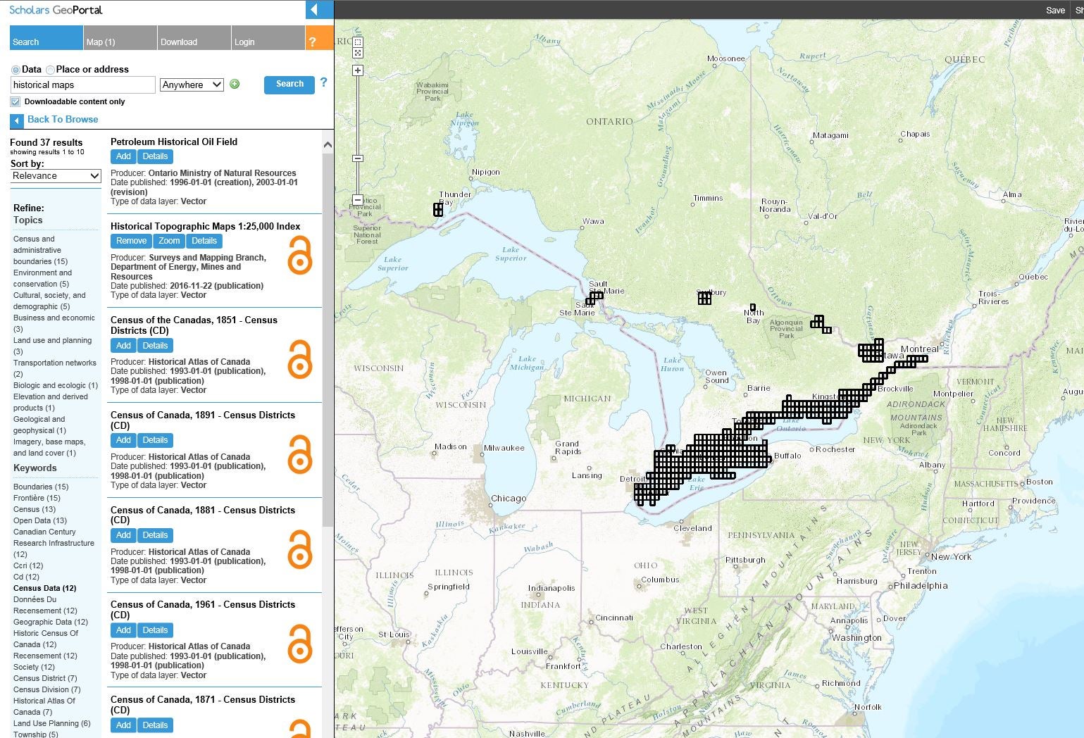
The project is a province-wide collaboration, led by the OCUL Geo Community, an open forum for the exchange of information relating to maps and GIS, to digitize and geocode early topographic maps of Ontario at the 1:25000 and 1:63360 scales.
Available for download through Scholars GeoPortal:
http://geo2.scholarsportal.info/#r/details/_uri@=HTDP25K030M13b_1972TIFF&_add:true