Contact the Geospatial Centre
Dana Porter Library, Room 328
University of Waterloo Library
Waterloo, Ontario N2L 3G1
Email: librarygeo@uwaterloo.ca
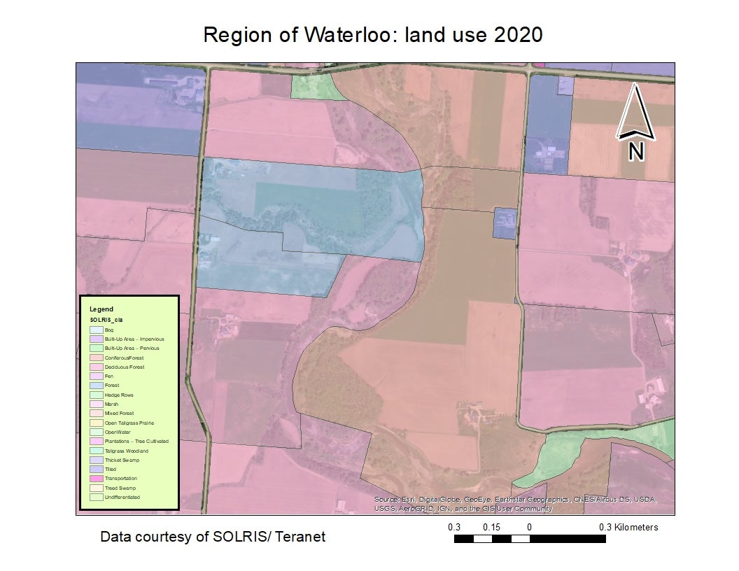
This unique product was created by Geospatial Centre staff by combining: Southern Ontario Land Resource Information System (SOLRIS) 3.0 (2000 - 2015) with Teranet's Waterloo Assessment (2018).