Contact the Geospatial Centre
Dana Porter Library, Room 328
University of Waterloo Library
Waterloo, Ontario N2L 3G1
Email: librarygeo@uwaterloo.ca
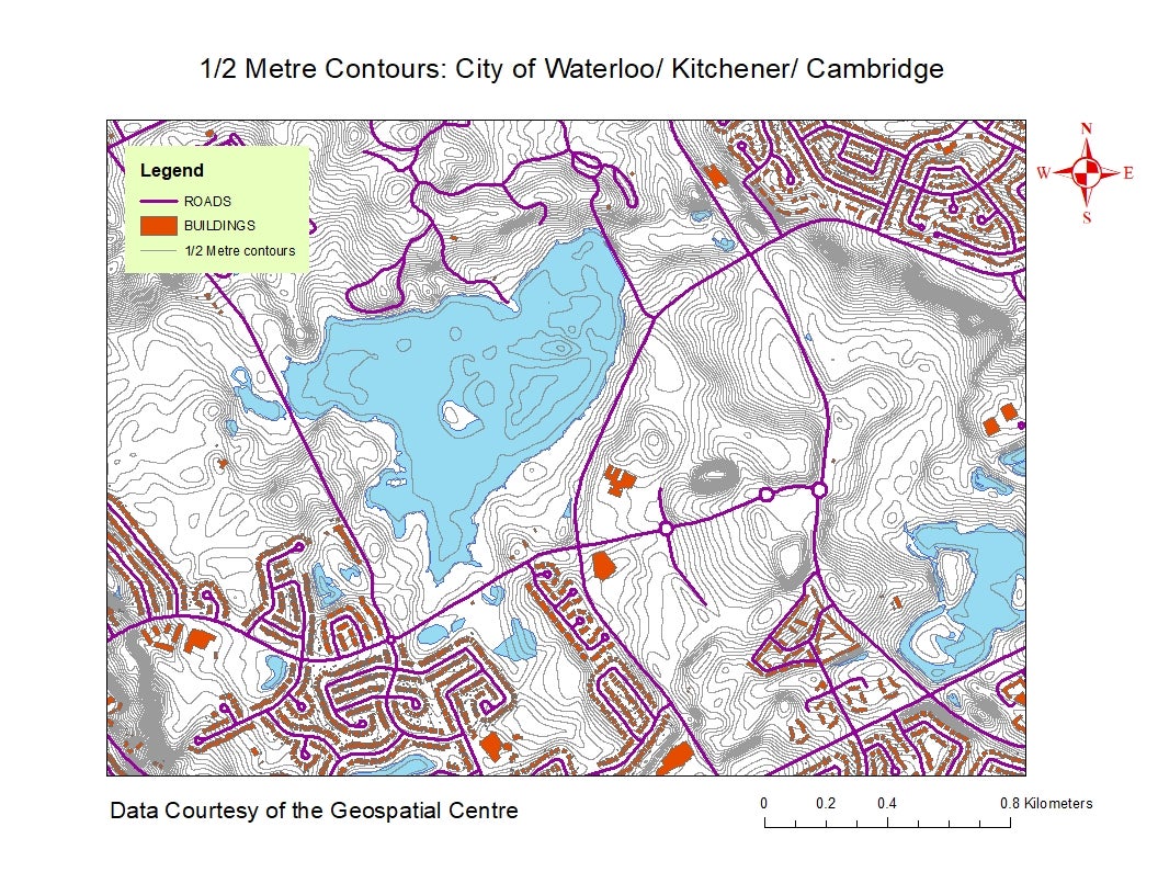
Created by the Geospatial Centre staff, this unique product was derived from 2015 SWOOP 2 metre DEM (Digital Elevation Model) imagery provided by the MNRF (Ministry of Natural Resources and Forestry) Ontario.