Contact the Geospatial Centre
Dana Porter Library, Room 328
University of Waterloo Library
Waterloo, Ontario N2L 3G1
Email: librarygeo@uwaterloo.ca
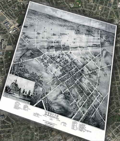
The Geospatial Centre has made available historical maps of Waterloo Region from 1815 to 1923. KMZ (map files) can be downloaded and viewed within Google Earth.