Ontario GeoHub

  1. 2023 (2)
    1. March (2)
  2. 2022 (3)
    1. October (1)
    2. May (1)
    3. January (1)
  3. 2021 (6)
    1. August (2)
    2. July (1)
    3. April (1)
    4. January (2)
  4. 2020 (30)
    1. November (3)
    2. October (4)
    3. September (3)
    4. August (3)
    5. July (9)
    6. June (2)
    7. May (2)
    8. February (3)
    9. January (1)
  5. 2019 (22)
    1. November (1)
    2. October (6)
    3. July (2)
    4. June (1)
    5. May (2)
    6. April (3)
    7. March (1)
    8. January (6)
  6. 2018 (18)
    1. December (2)
    2. November (1)
    3. October (5)
    4. July (2)
    5. June (3)
    6. May (1)
    7. April (2)
    8. January (2)
  7. 2017 (20)
    1. December (1)
    2. November (2)
    3. August (1)
    4. July (3)
    5. June (4)
    6. May (2)
    7. April (2)
    8. March (1)
    9. February (3)
    10. January (1)
  8. 2016 (16)
    1. December (2)
    2. November (2)
    3. September (4)
    4. August (3)
    5. July (1)
    6. June (2)
    7. March (1)
    8. February (1)
  9. 2015 (20)
    1. December (2)
    2. November (1)
    3. October (5)
    4. September (1)
    5. July (3)
    6. June (1)
    7. May (1)
    8. April (3)
    9. February (1)
    10. January (2)
  10. 2014 (21)
    1. November (1)
    2. October (2)
    3. September (2)
    4. May (5)
    5. April (2)
    6. March (3)
    7. February (5)
    8. January (1)
  11. 2013 (19)
    1. November (4)
    2. October (3)
    3. September (2)
    4. August (1)
    5. July (1)
    6. March (1)
    7. January (7)

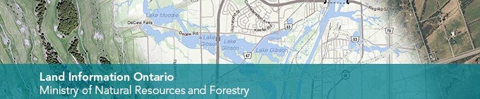
Land Information Ontario introduces the Ontario GeoHub, the new data discovery and distribution service that will replace the Metadata Management Tool.

The Ontario GeoHub will allow you to:

  • Search for authoritative geospatial datasets
  • Preview data in your web browser
  • Download data
  • Connect to live Map services
  • Use the API Explorer to create custom connections to live data
  • And more

www.Ontario.ca/GeoHub

Land Information Ontario