Contact the Geospatial Centre
Dana Porter Library, Room 328
University of Waterloo Library
Waterloo, Ontario N2L 3G1
Email: librarygeo@uwaterloo.ca
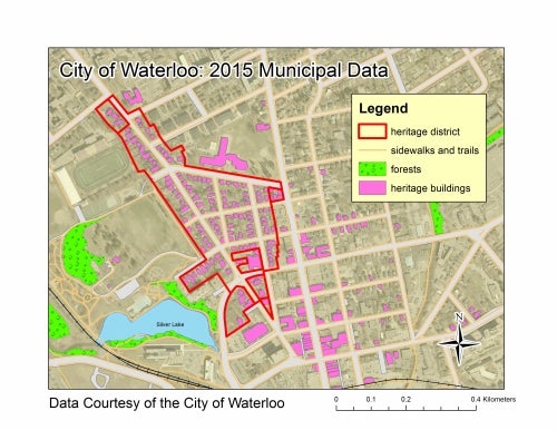
Received 2015 municipal data from the City of Waterloo. Updated files include: sanitary and storm sewer, water distribution, bia area, city boundary, creeks, district plans, forests, heritage buildings, heritage district, major transportation routes, neighbourhood associations, official plan, railway, rivers, road cover, schools, sidewalks and trails, water bodies and zoning.