Contact the Geospatial Centre
Dana Porter Library, Room 328
University of Waterloo Library
Waterloo, Ontario N2L 3G1
Email: librarygeo@uwaterloo.ca
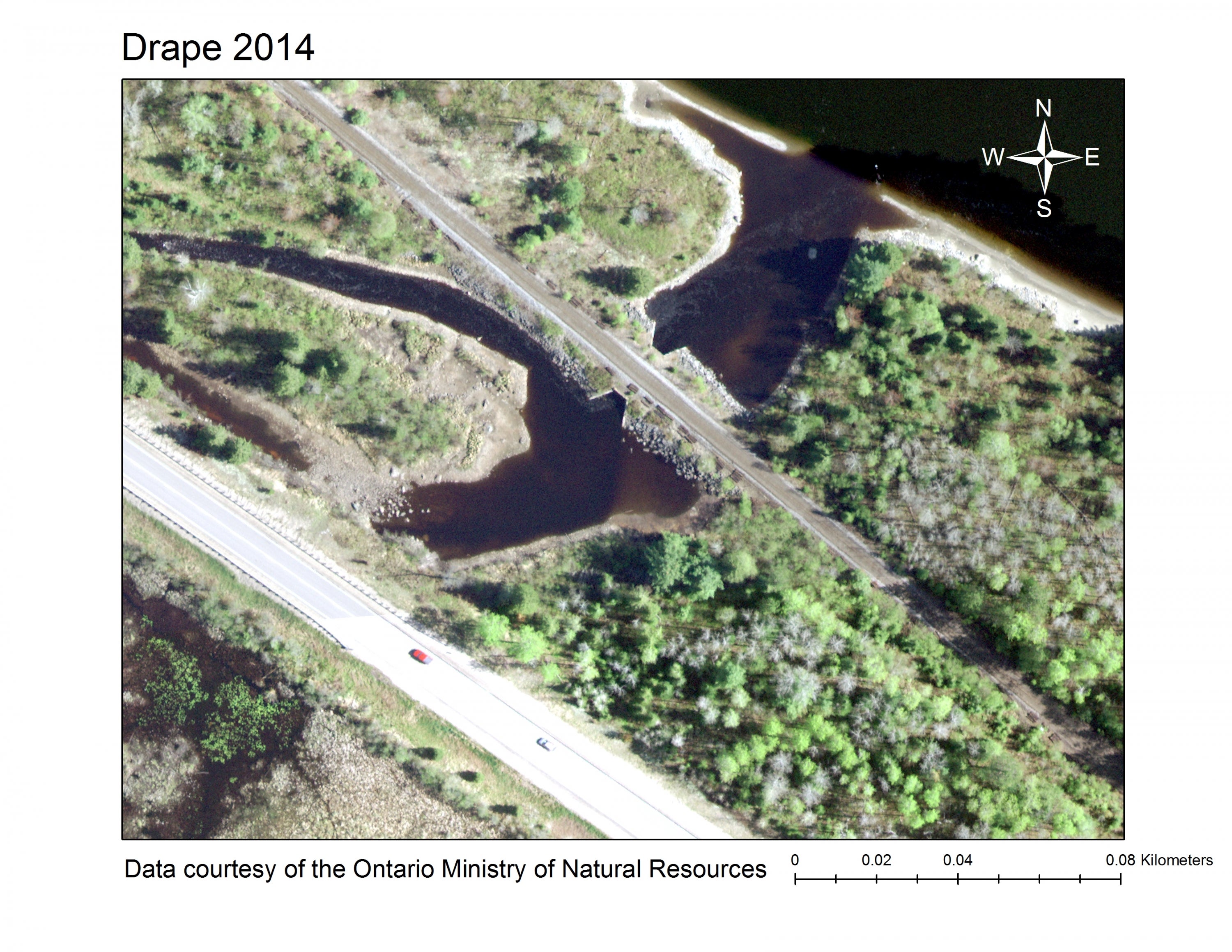
Available through both Scholars GeoPortal and the Geospatial Centre, this imagery covers approximately 37,290 square kilometres in eastern Ontario and was collected in leaf off conditions between April 28th and June 7th, 2014. Imagery is available in 1 km tiles. Data resolution is 20 cm.