Contact the Geospatial Centre
Dana Porter Library, Room 328
University of Waterloo Library
Waterloo, Ontario N2L 3G1
Email: librarygeo@uwaterloo.ca
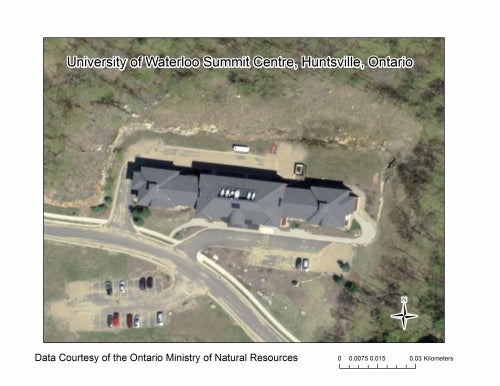
Under the guidance of the Ontario Ministry of Natural Resources, over 40 private and government entities worked to produce this product. SCOOP digital imagery (20 cm resolution) was collected with sensor Leica geosystems ADS80 SH82 for areas of Ontario between April 26 and May 7, 2013.
The project encompassed an area of approximately 35,762 square kilometres, covering parts of South Central Ontario including Peterborough, Haliburton, Muskoka, Simcoe and surrounding areas.
Currently available through Scholars GeoPortal: