Contact the Geospatial Centre
Dana Porter Library, Room 328
University of Waterloo Library
Waterloo, Ontario N2L 3G1
Email: librarygeo@uwaterloo.ca
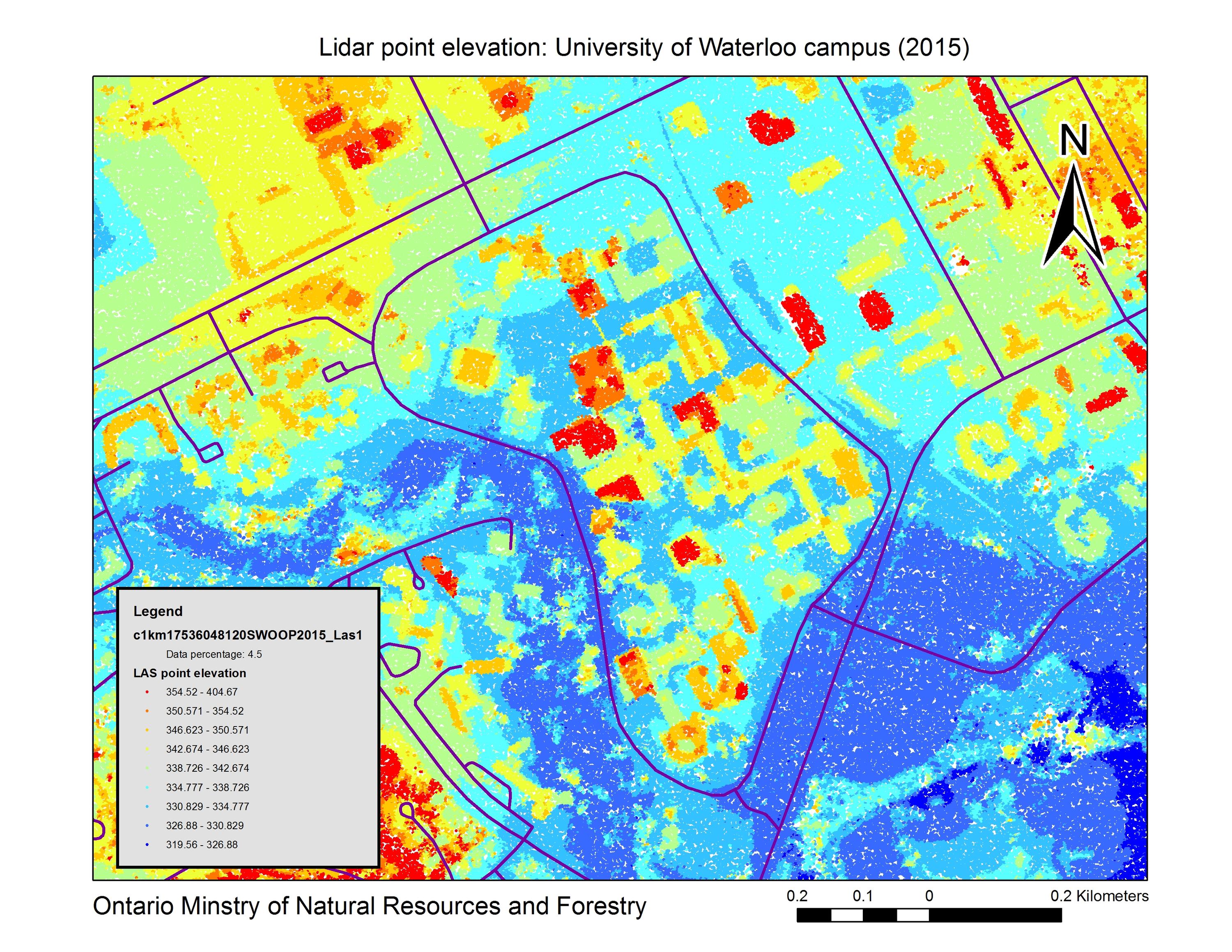
The Southwestern Ontario Orthophotography Project (SWOOP) 2015 imagery data consists of Fugro acquired digital imagery with sensor Leica geosystems ADS100 collected between April 12th and May 23rd 2015.
The project covers an area of approximately 49,167 square kilometres. Imagery acquisition was performed at 2,377 m AMT (above mean terrain) to produce 20cm GSD RGBNiR orthorectified imagery and related products including a digital elevation model (DEM) (2 metres), digital surface model (DSM) (2 metres) and Lidar (LAS).
To access Swoop 2015 full colour imagery, DTM, DSM and LAS data sets, please visit the Geospatial Centre Reference Desk during reference hours.