Contact the Geospatial Centre
Dana Porter Library, Room 328
University of Waterloo Library
Waterloo, Ontario N2L 3G1
Email: librarygeo@uwaterloo.ca
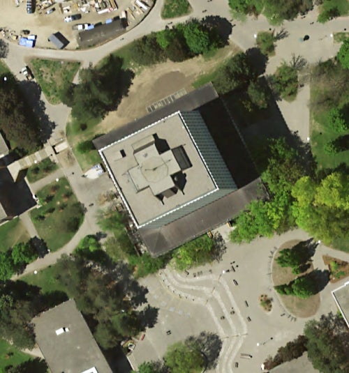
SWOOP 2015 imagery now available through Scholars GeoPortal and the Geospatial Centre:
The SWOOP image data consists of Fugro acquired digital imagery with sensor Leica geosystems ADS100 collected between April 12th and May 23rd 2015.
The project covers an area of approximately 49,167 square kilometers. Imagery acquisition was performed at 2,377 m AMT (above mean terrain) to produce a 20cm GSD RGBNiR orthorectified imagery and related products including a digital elevation model (dem).

Dana Porter Library, Room 328
University of Waterloo Library
Waterloo, Ontario N2L 3G1
Email: librarygeo@uwaterloo.ca
The University of Waterloo acknowledges that much of our work takes place on the traditional territory of the Neutral, Anishinaabeg, and Haudenosaunee peoples. Our main campus is situated on the Haldimand Tract, the land granted to the Six Nations that includes six miles on each side of the Grand River. Our active work toward reconciliation takes place across our campuses through research, learning, teaching, and community building, and is co-ordinated within the Office of Indigenous Relations.