The research project is the combined work of Aaron Coutino, a recent PhD graduate in applied mathematics, and Marek Stastna, a professor of applied mathematics and Coutino’s PhD supervisor. Coutino spent significant time in the Yucatan conducting research on the hydrology of the region, working with local divers to install and monitor sensors in lakes and underground caves to gather data on the water table.
A new paper, “Inland tidal oscillations within the Yucatan Peninsula,” authored by Coutino, Stastna, and their co-authors Chelsi McNeill-Jewer and Eduard Reinhardt, was recently published in the journal Geophysical Research Letters.
The study shows the way that changes in tides and hurricane activity played a part in upending the Maya civilization centuries ago. Changes to the water table throughout the Yucatan Peninsula impacted the Maya and now offer lessons on the effects of present-day climate change, they say.
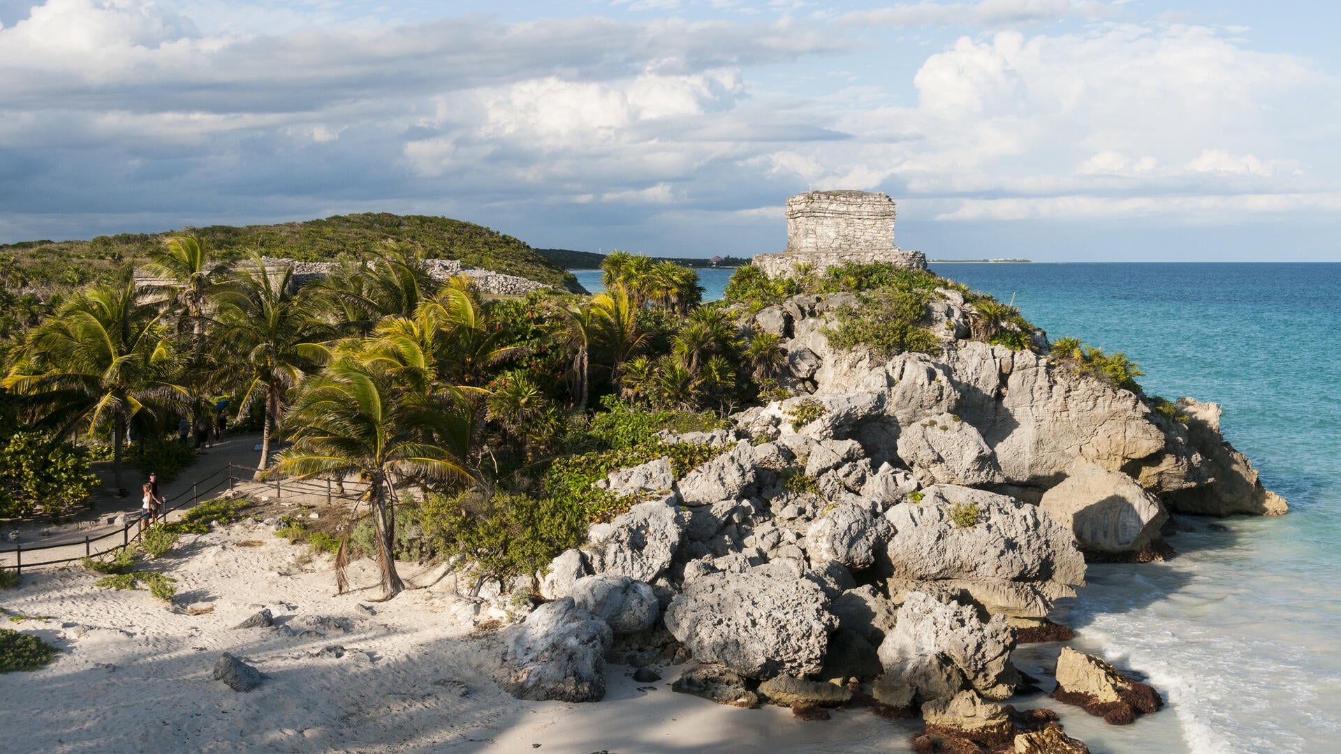
“Big parts of the Yucatan Peninsula sit on rock formations made of limestone, with fissures and caves throughout,” said Coutino. “Rainwater and runoff accumulate in the cave formations and underground rivers, and that’s where much of the freshwater is on the Yucatan.”
“If you have changes in sea level or tidal activity, then what happens in those fissure zones is a mixing between the fresh water on the surface and the salty water that intrudes from the ocean underneath.”
The results of the research project show that fluctuations in Maya population and settlement patterns were impacted by access to fresh water. Long before the arrival of Europeans and the eventual destruction of the Maya civilization, the archaeological record shows cycles of internal disruption.
“Sometimes things in Maya cities were good, and sometimes people seem to disperse out into the countryside,” said Stastna, who works in fluid dynamics and is well-known for his Fluids Lab in the Department of Applied Mathematics.
“There’s a variety of theories in the archaeological community as to why. This research suggests it was to do with regular access to freshwater. The water stops being good for drinking and even stops being useful for irrigation. When you can’t irrigate your crops, you can’t have a city of 40,000, like some of the Maya cities were.”
Coutino’s locally-based research team placed sensors in bodies of water throughout the Yucatan to gather data. They found daily fluctuations of water levels and salination that show ocean tides impact even far-inland lakes. The work offers new insights for archaeologists and climate historians, but also for present-day climatologists.
The study informs how the contemporary world can think about the different ways climate change expresses itself. The Yucatan, with its unique water table, is vulnerable in particular ways. Other regions will have their own specific vulnerabilities.
“Right now, you see how climate change expresses itself in places like British Columbia, with these huge forest fires. And in the Yucatan, climate change expresses itself through the underground water table. If you’re in Acadia, maybe the bigger concern is coastal erosion, but in the Yucatan change can manifest inland,” Stastna said.
“People shouldn’t be thinking about whether climate change is happening, but how it expresses itself in different places.”
The paper, “Inland tidal oscillations within the Yucatan Peninsula,” in the journal Geophysical Research Letters, can be found at this link.